runvia.app

Routes on the ground,
waves in the sky.

Trazo for drawing cycling and running routes, FoxMap for ARDF course maps, IonoFlux for HF propagation forecasts, RadioCloud for locking handheld radio frequencies, and RailNow for tracking subway trains. Web services we build and run ourselves, all in one place.

Global services

Fully usable in English, from anywhere.

IonoFlux

Amateur radioOnline

GlobalLanguages:
  • English
  • Korean (intro page only)

Live space weather and HF propagation forecasts

Collects space weather data such as solar flux, Kp, X-ray, TEC and MUF in real time and predicts HF propagation paths between any two points on Earth. Forecasts are checked against real FT8 and WSPR reception reports, and a free API is available.

  • Live MUF & TEC maps
  • Path prediction
  • FT8 · WSPR validation
  • Free API

ionoflux.runvia.app

RadioCloud

Radio toolsOnline

GlobalLanguages:
  • Korean
  • English

Lock your handheld radio's TX frequencies, right in the browser

Set transmit frequency limits on Baofeng UV-5R, UV-5R Mini and Quansheng UV-K5(8) radios over a USB cable with Web Serial, with nothing to install. It backs up the original first, compares before and after, and reads the radio back to verify. Firm Hub collects custom UV-K5 firmware you can flash from the same page.

  • TX frequency lock
  • Backup & read-back check
  • Firmware flashing
  • Firm Hub

radiocloud.runvia.app

Korea services

Built for South Korea with a Korean interface. Some have an English guide.

Trazo

Route plannerOnline

KoreaLanguages:
  • Korean
  • English (guide only)

Plot your own cycling and running routes, point by point

Drop points on a Kakao map of South Korea and Trazo connects them along roads and paths suited to your sport. Check elevation and gradient, then export GPX, FIT or TCX files or a printable image straight to your Garmin or Wahoo device.

  • Bike & run routing
  • Elevation & gradient chart
  • GPX · FIT · TCX export
  • Route sharing & community

trazo.runvia.app

FoxMap

Map editorOnline

KoreaLanguages:
  • Korean

ARDF and orienteering maps from Korean topographic data

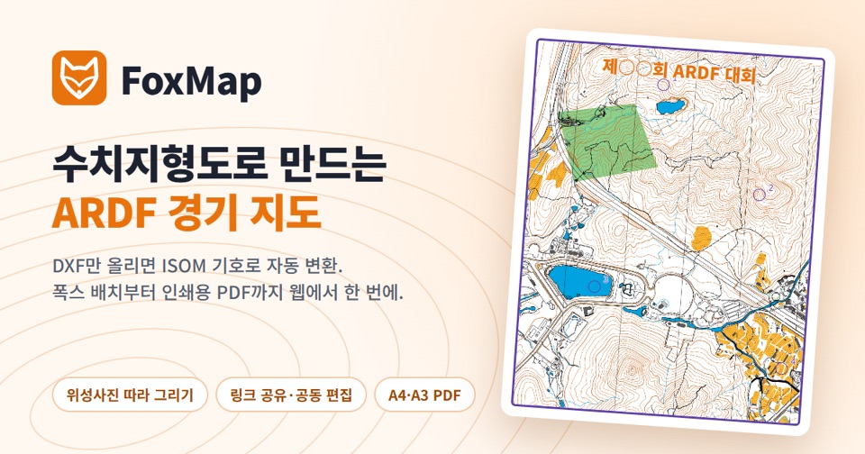
A web map editor that imports DXF topographic maps from Korea's National Geographic Information Institute, converts them to ISOM symbols automatically, lets you place foxes, start and finish, and exports print-ready vector PDFs in A4 or A3. Magnetic declination is calculated for you, and maps can be edited together.

  • Automatic DXF conversion
  • ISOM symbols
  • Collaborative editing
  • Print-ready vector PDF

foxmap.runvia.app

RailNow

Public transitOnline

KoreaLanguages:
  • Korean
  • English (guide only)

Live Seoul subway train locations by train number

Enter a line and a train number (K802, S904 and so on) to see where a Seoul metropolitan subway train is, its next station, delay and destination, refreshed every 15 seconds. Browse by line or station, view per-train timetables, and use the same data through a free REST API.

  • Live train locations
  • Search by line or station
  • Train timetables
  • Free API

railnow.runvia.app

About runvia

runvia is where we publish and run tools we first built for ourselves, so anyone can use them. We make services for cyclists and runners planning routes, organizers preparing ARDF and orienteering events, and amateur radio operators who want to know how the bands are doing.

Every service lives at a *.runvia.app address and runs in your web browser, with nothing to install.